Antenna Azimuth

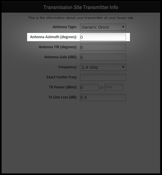
For example: You are using three identical 120° sectors on one Tower Site. For maximum coverage you have them point at 0°, 120° and 240°. These three sectors will create overlapping 360° coverage from your tower site. To get the most accurate coverage area results, you should create a coverage map for each of the three sectors. The difference between the coverage maps for these sectors will be the Antenna Azimuths (0°, 120° and 240°).