What Data Do We Use?
As 12 PM on 2/24/2020 USGS Landcover for the lower 48 has been updated to 2016 data
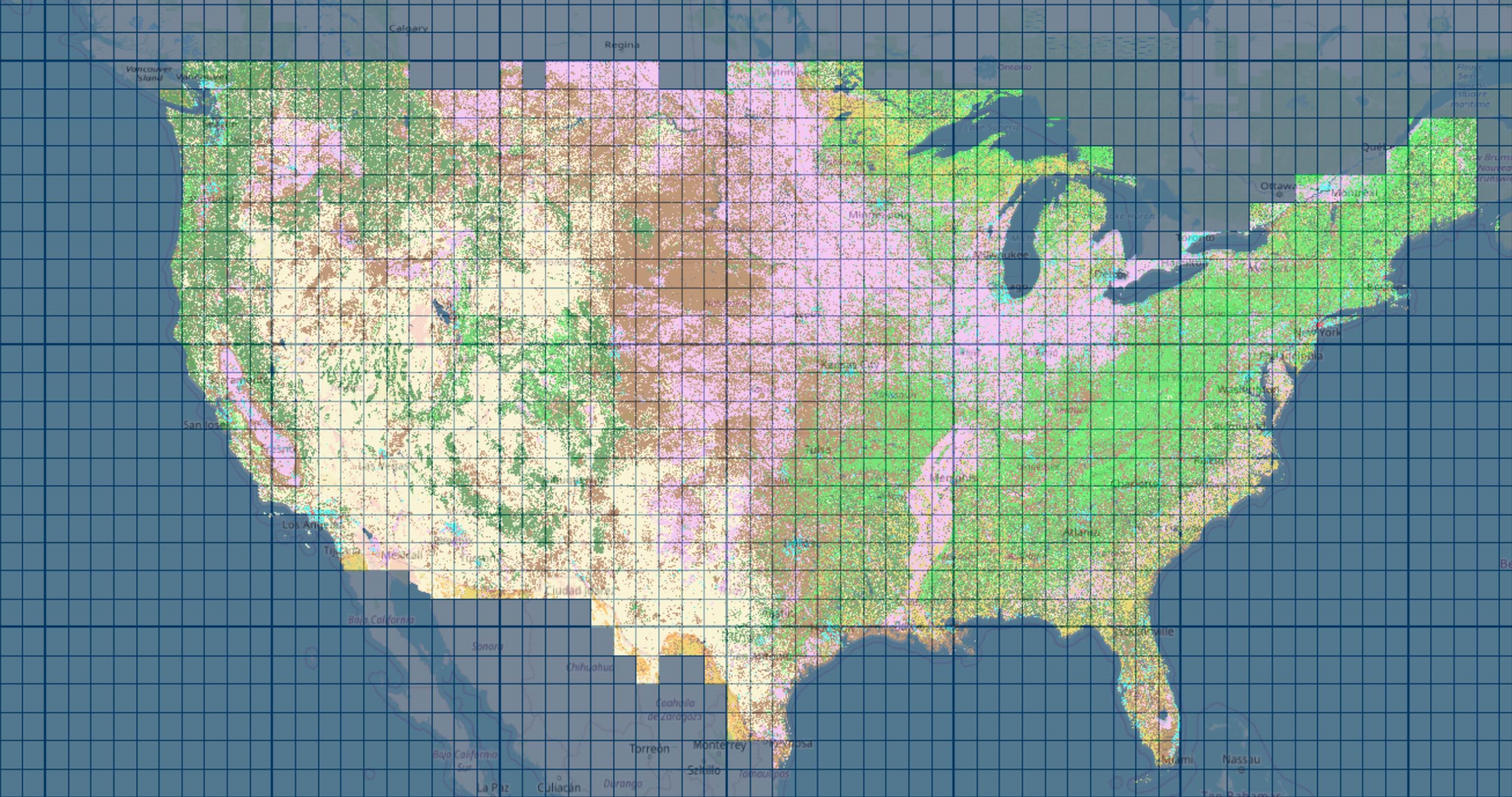
USGS Updated data
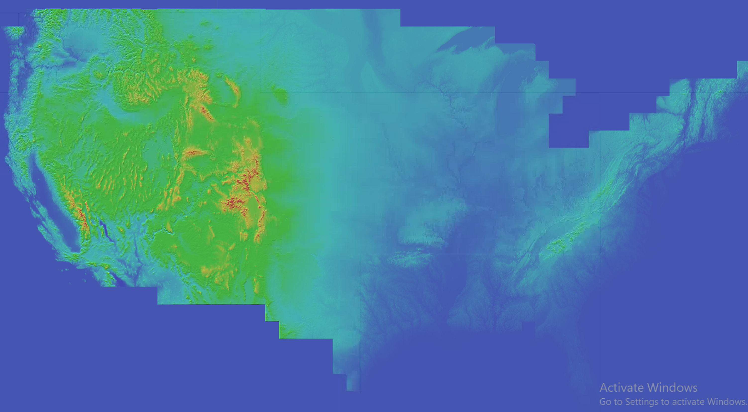
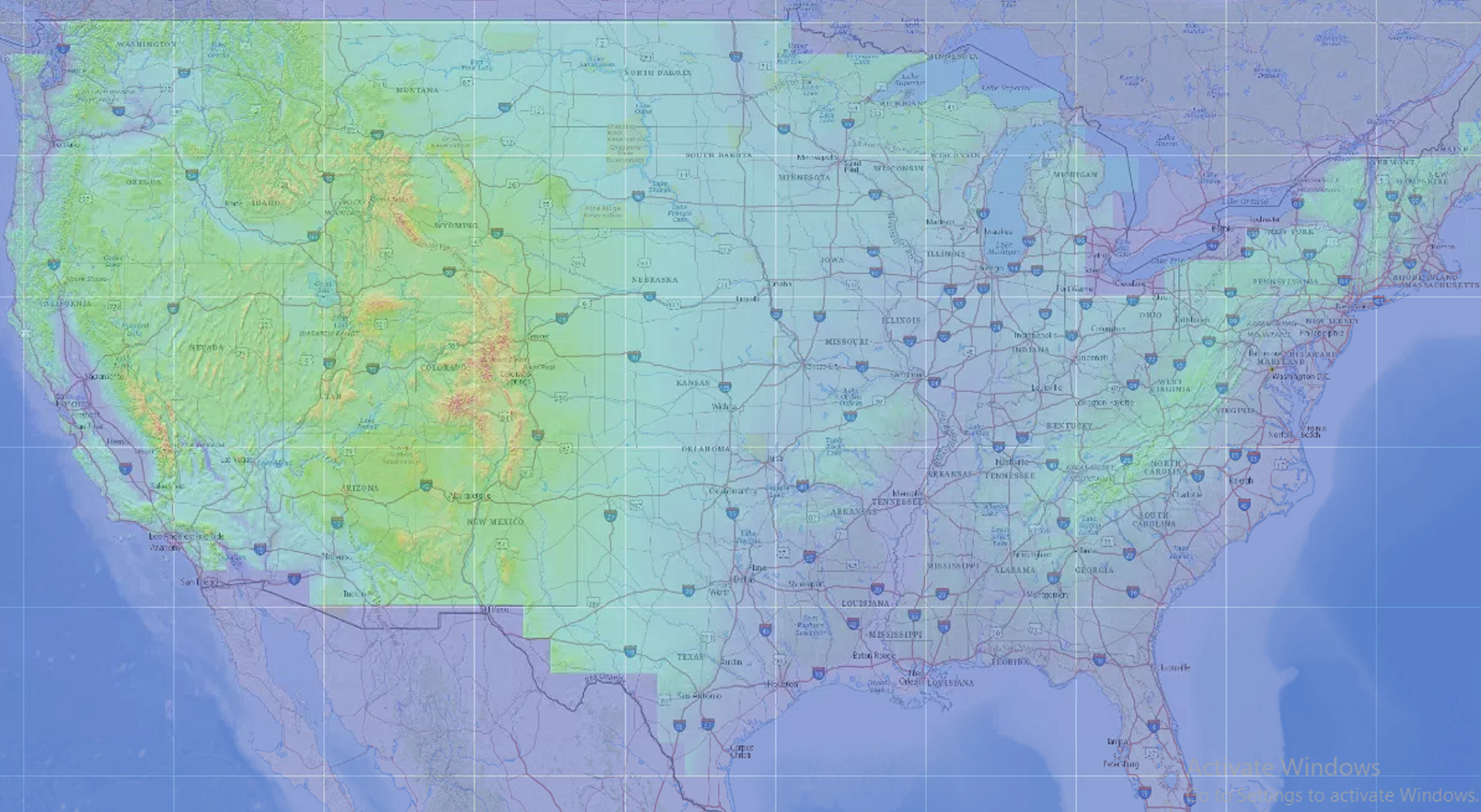
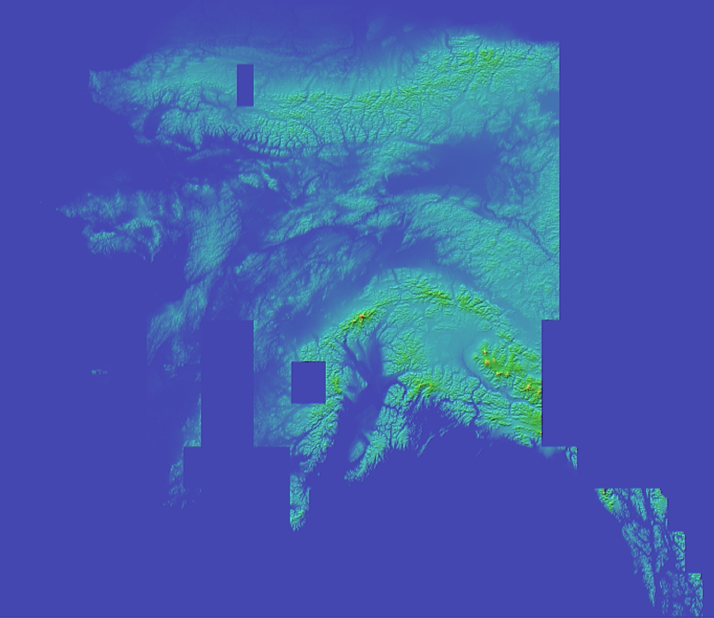
Elevation data sources
Resolution of Elevation Data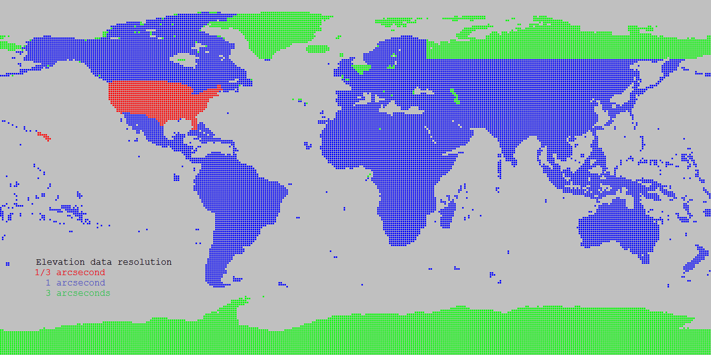
Source Shuttle Radar Topography Mission (SRTM) data products 1 arcsecond
Source for Alaska: USGS Alasaka NED 2 at Seamless data distribution system
Source for Northern Canada and void filling: Natural Resources Canada CDED at Geobase
Source for Northern Canada and void filling: Natural Resources Canada CANVEC at Geobase
Source for Northern Canada and void filling: ASTER
Source of SRTM Void filled for Eurasia: Viewfinder Panoramas
Land cover data sources
Landcover Resolution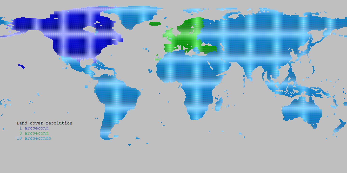
Source Canada: Natural Resources Canada Circa 2000 at Geobase
Source Europe: Corine landcover at European Environment Agency
Source World: Globcover at European Environment Agency