What Data Do We Use?
As of 6/1/2021, TowerCoverage has added a new LIDAR1 Meter resolution data option to the TowerCoverage creation process.
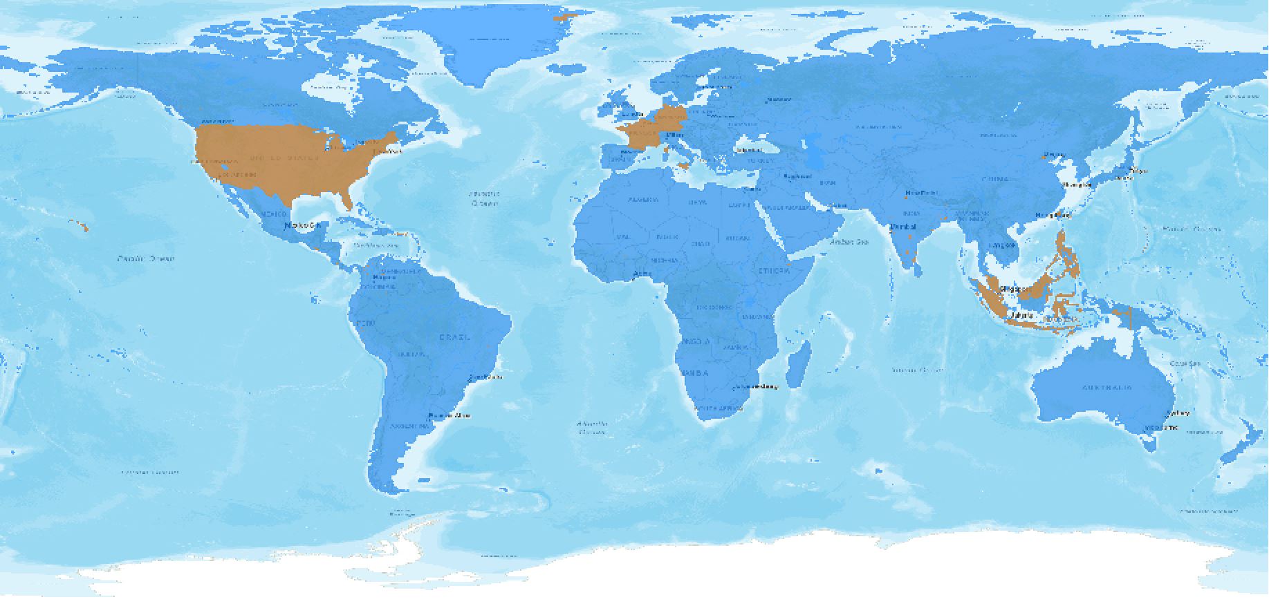
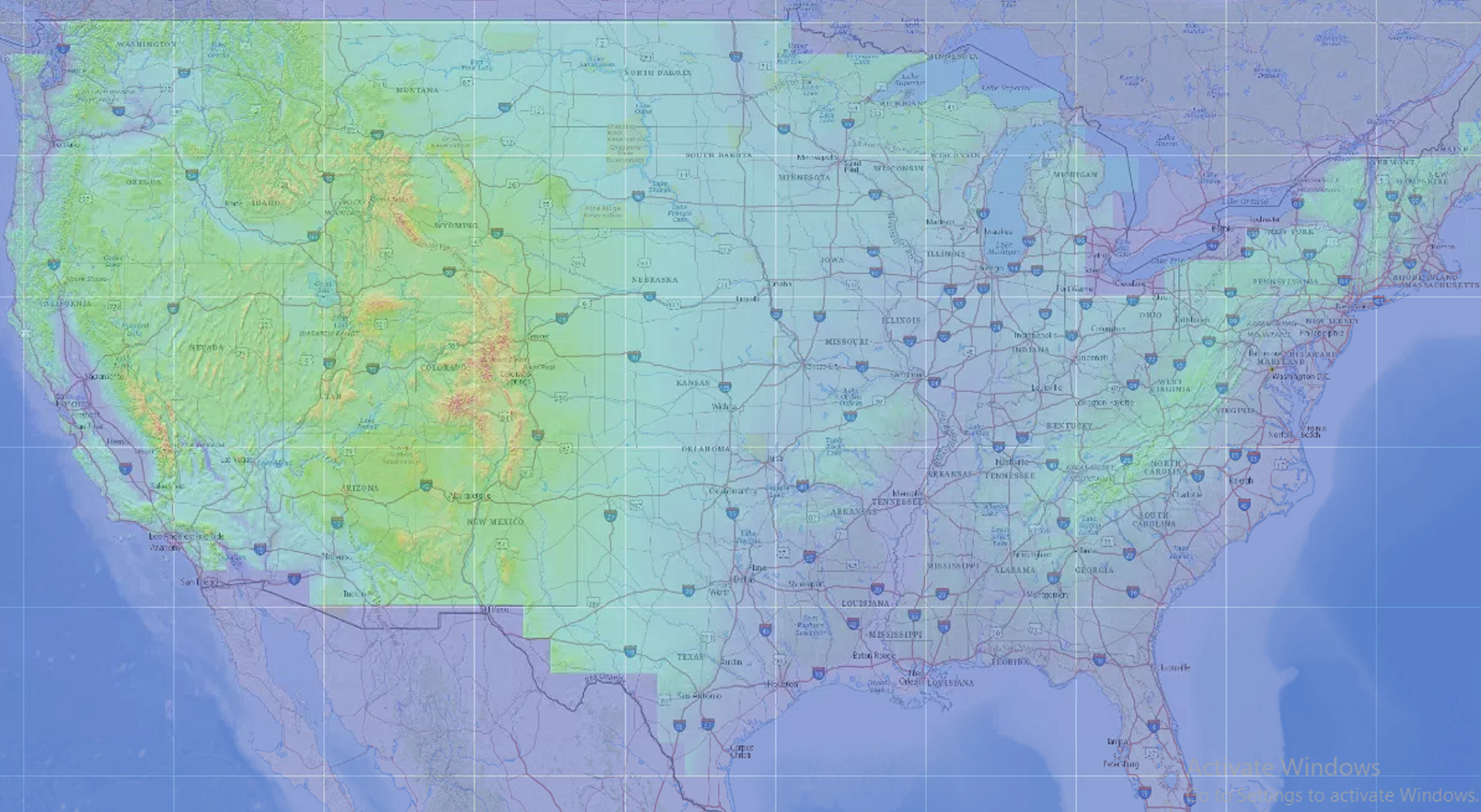
Global Coverage 1 Meter / 6 Meter
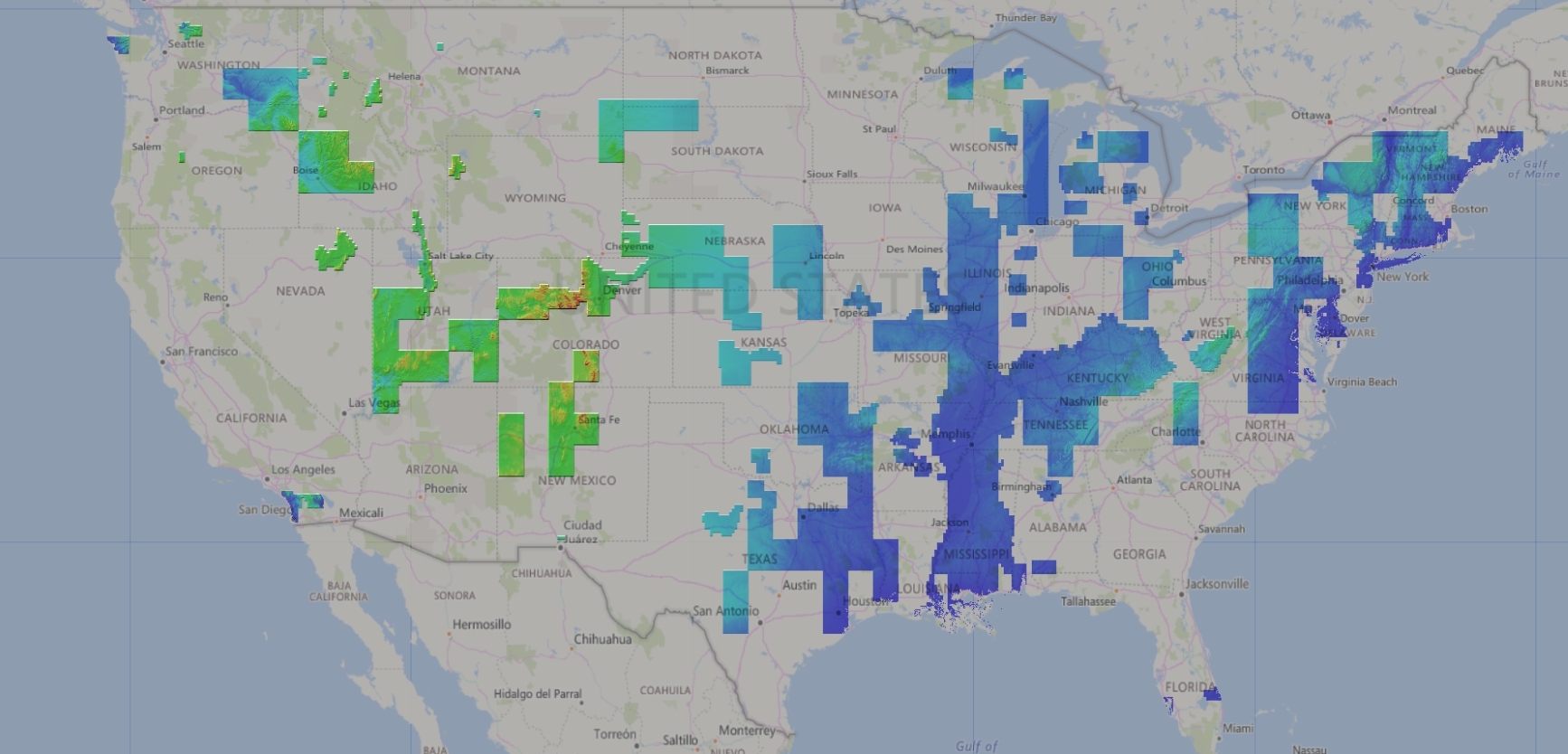
USA / Canada Combined
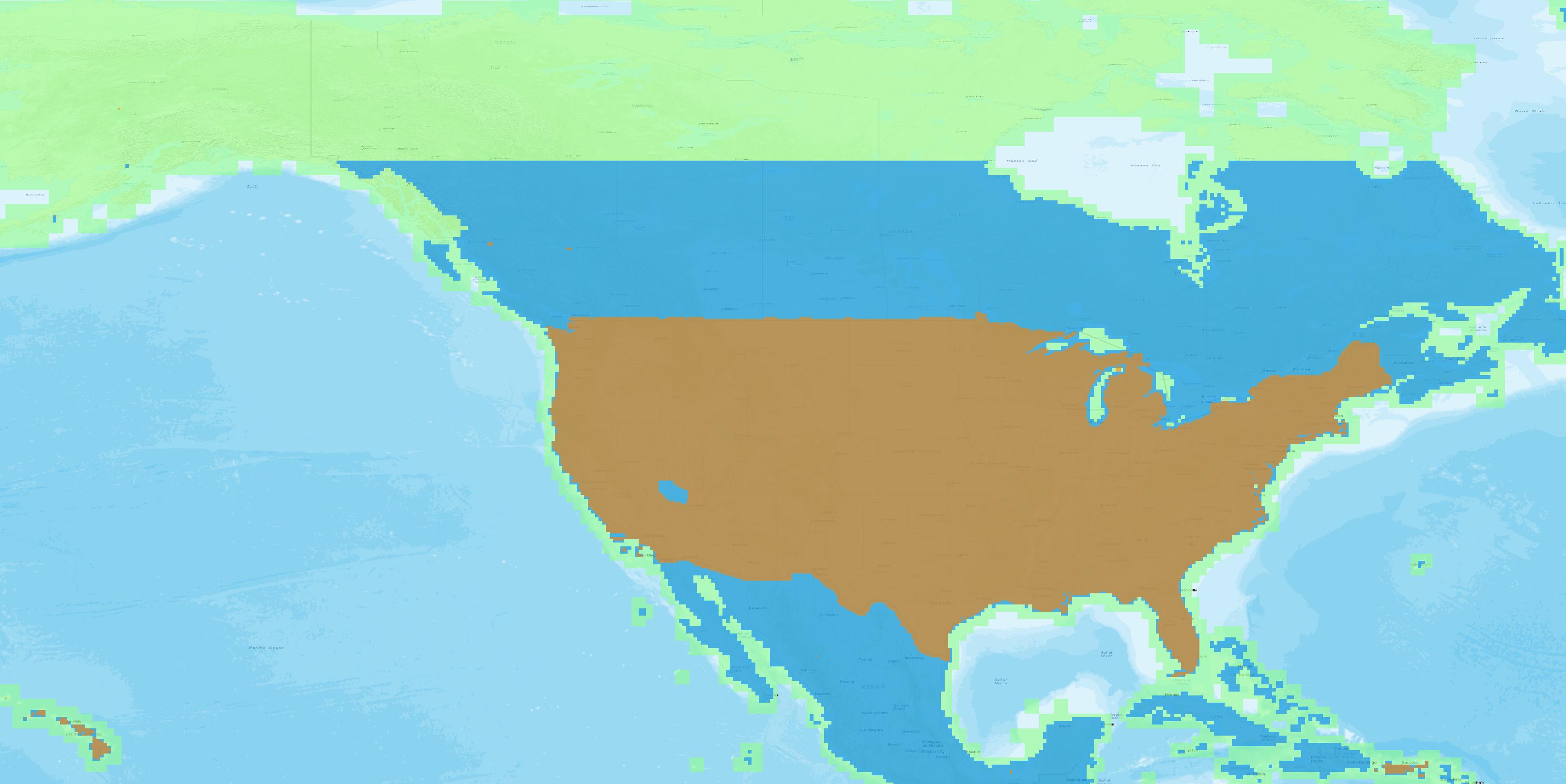
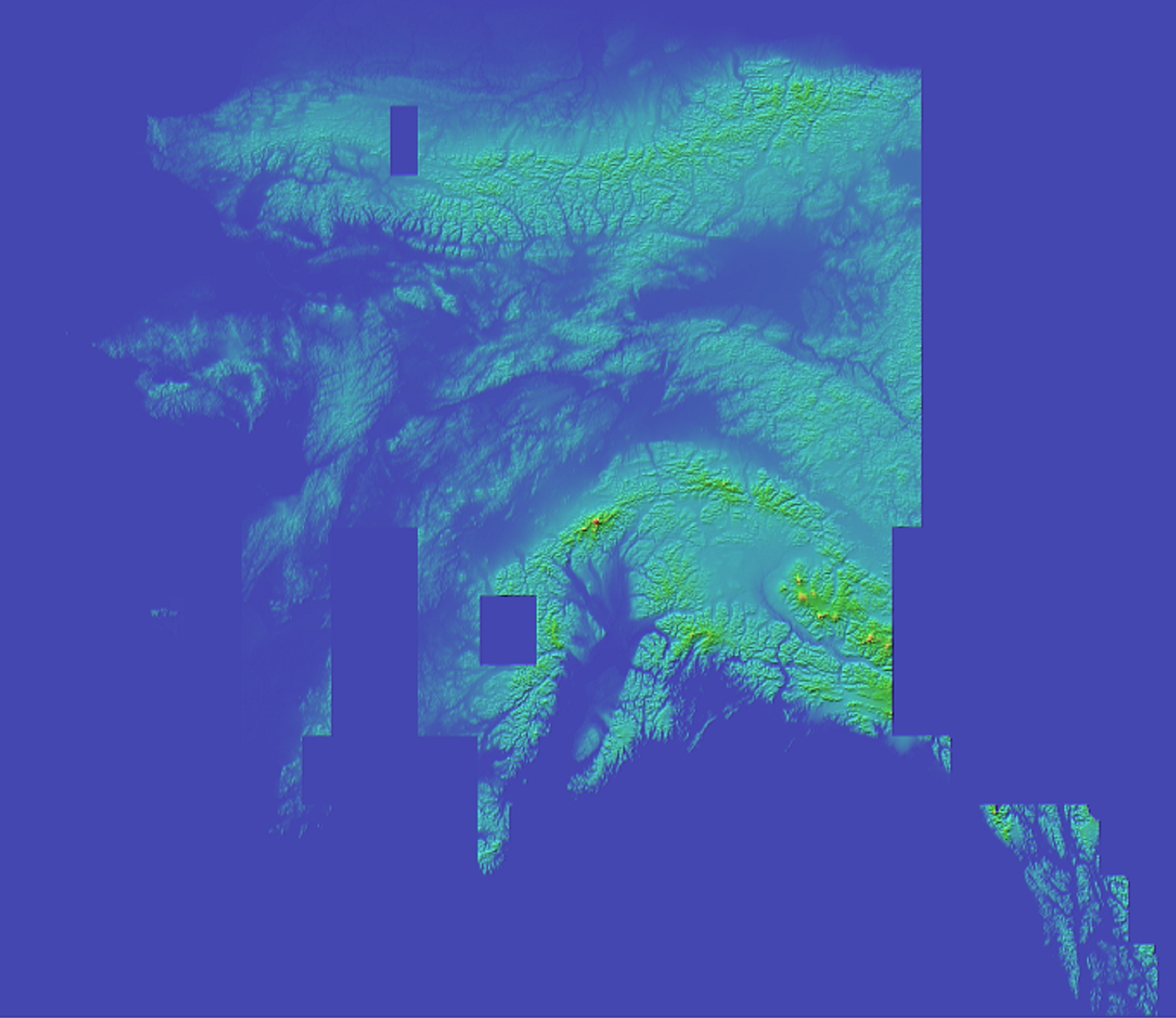
USA / Canada 1 Meter
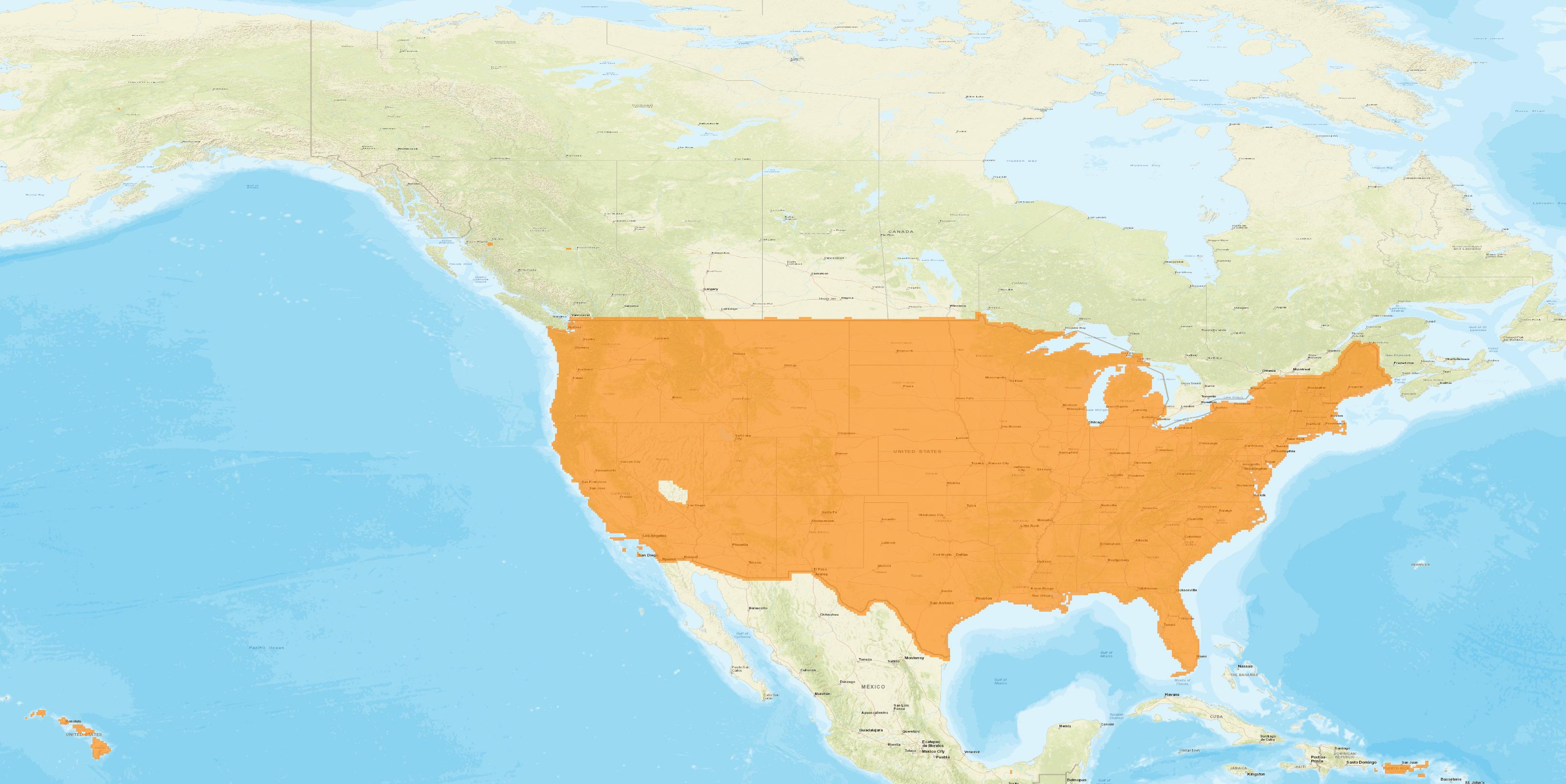
USA / Canada 6 Meter
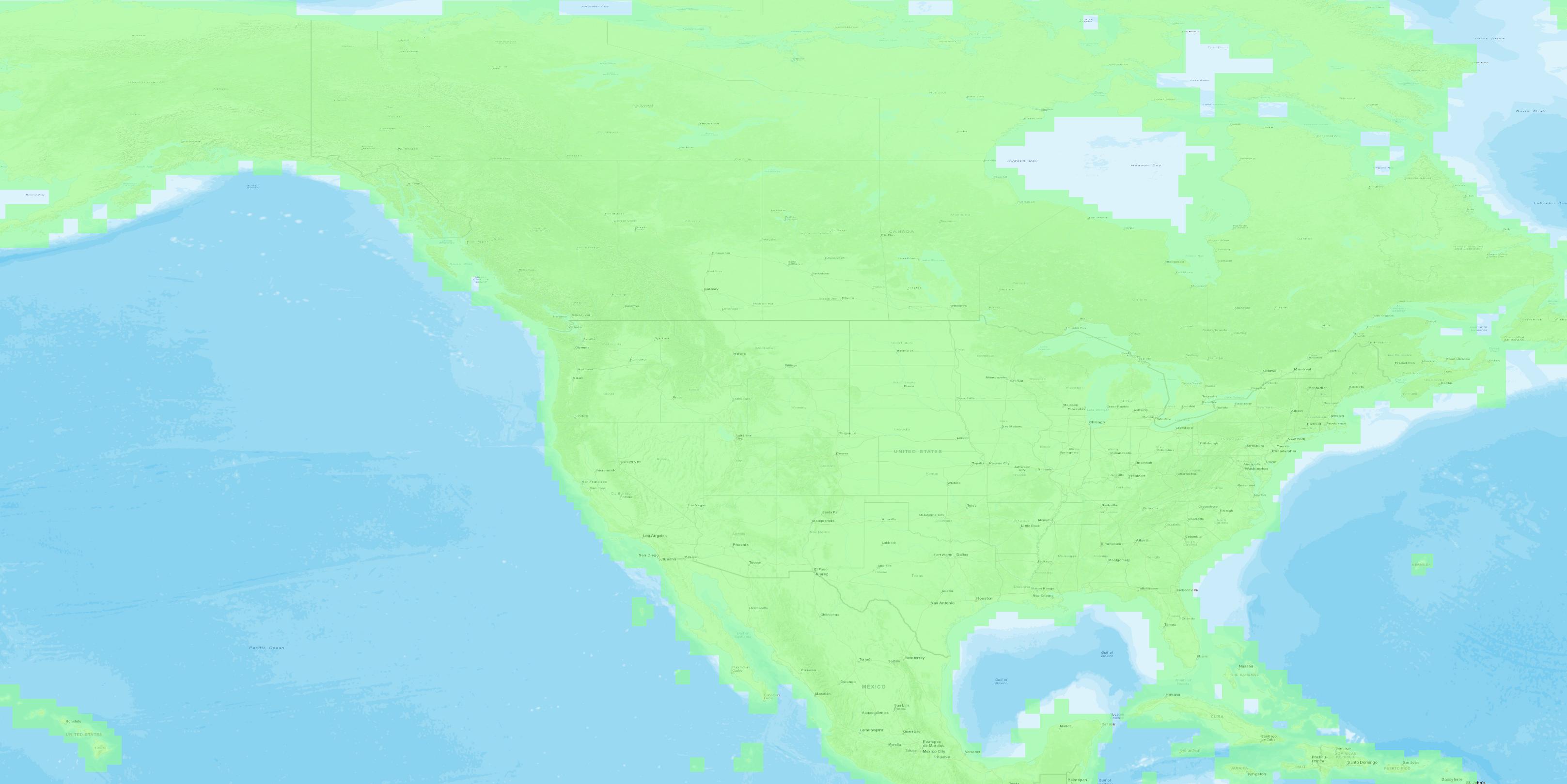
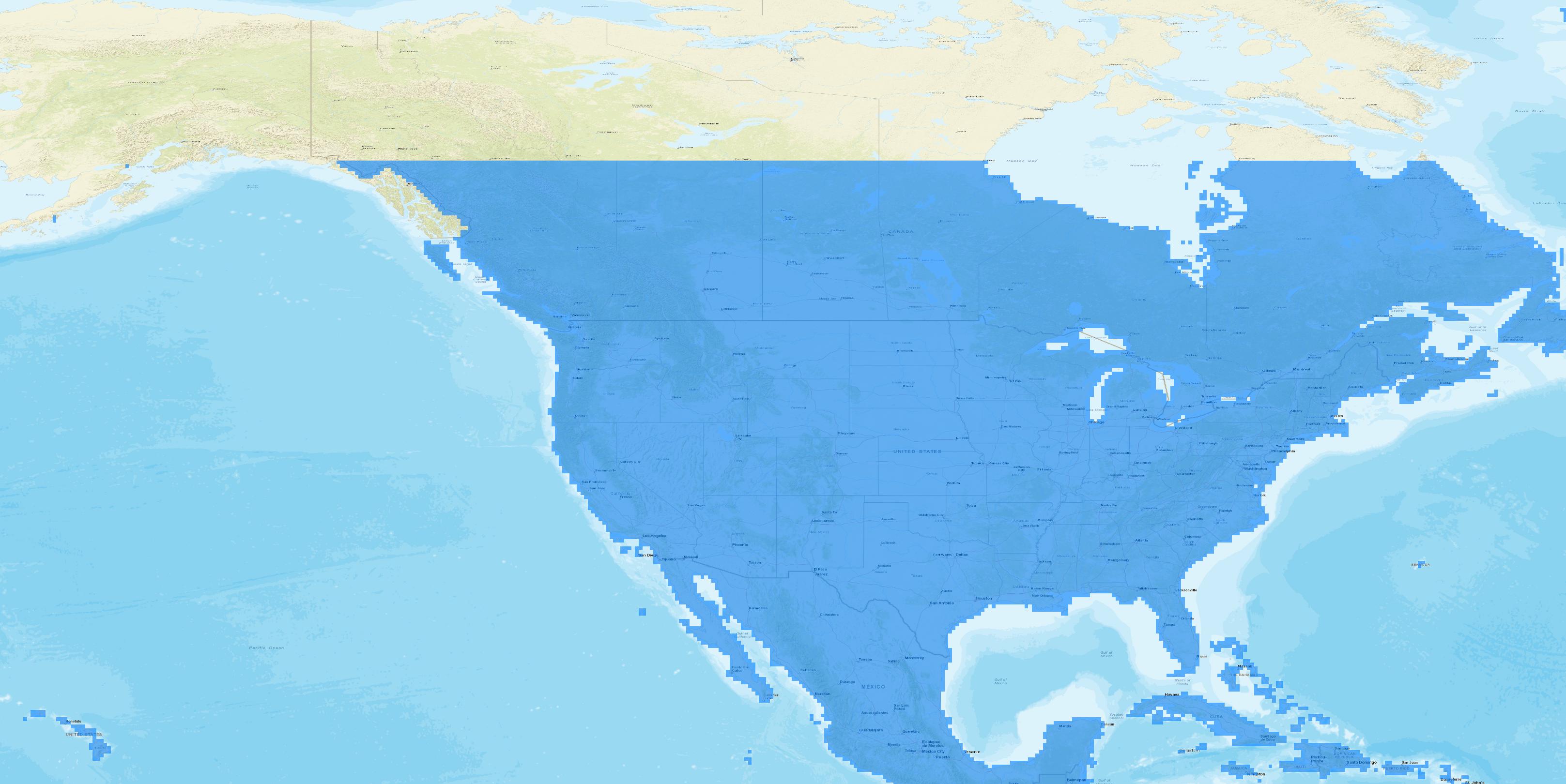
USA / Canada 10 Meter
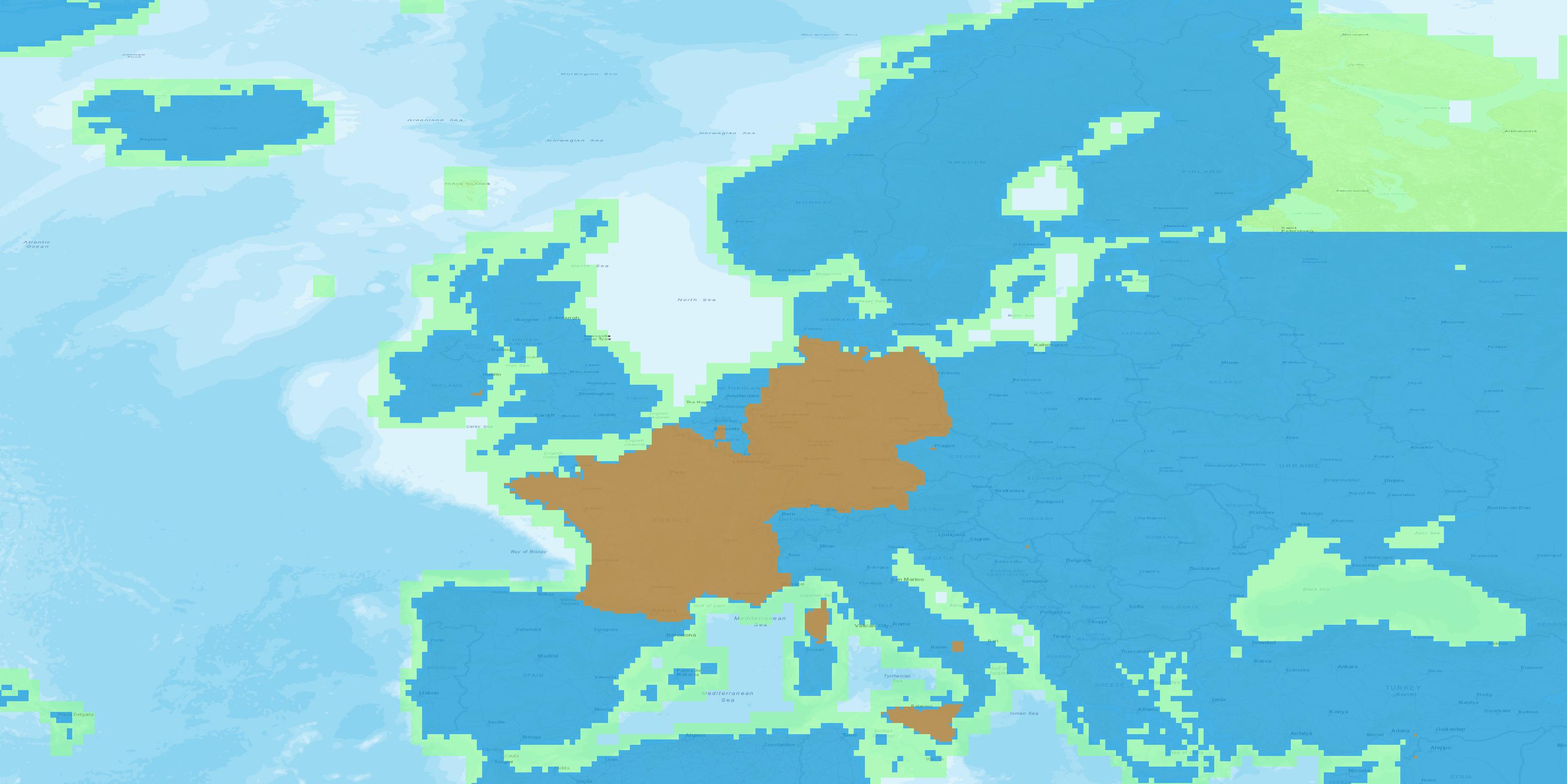
Europe Combined
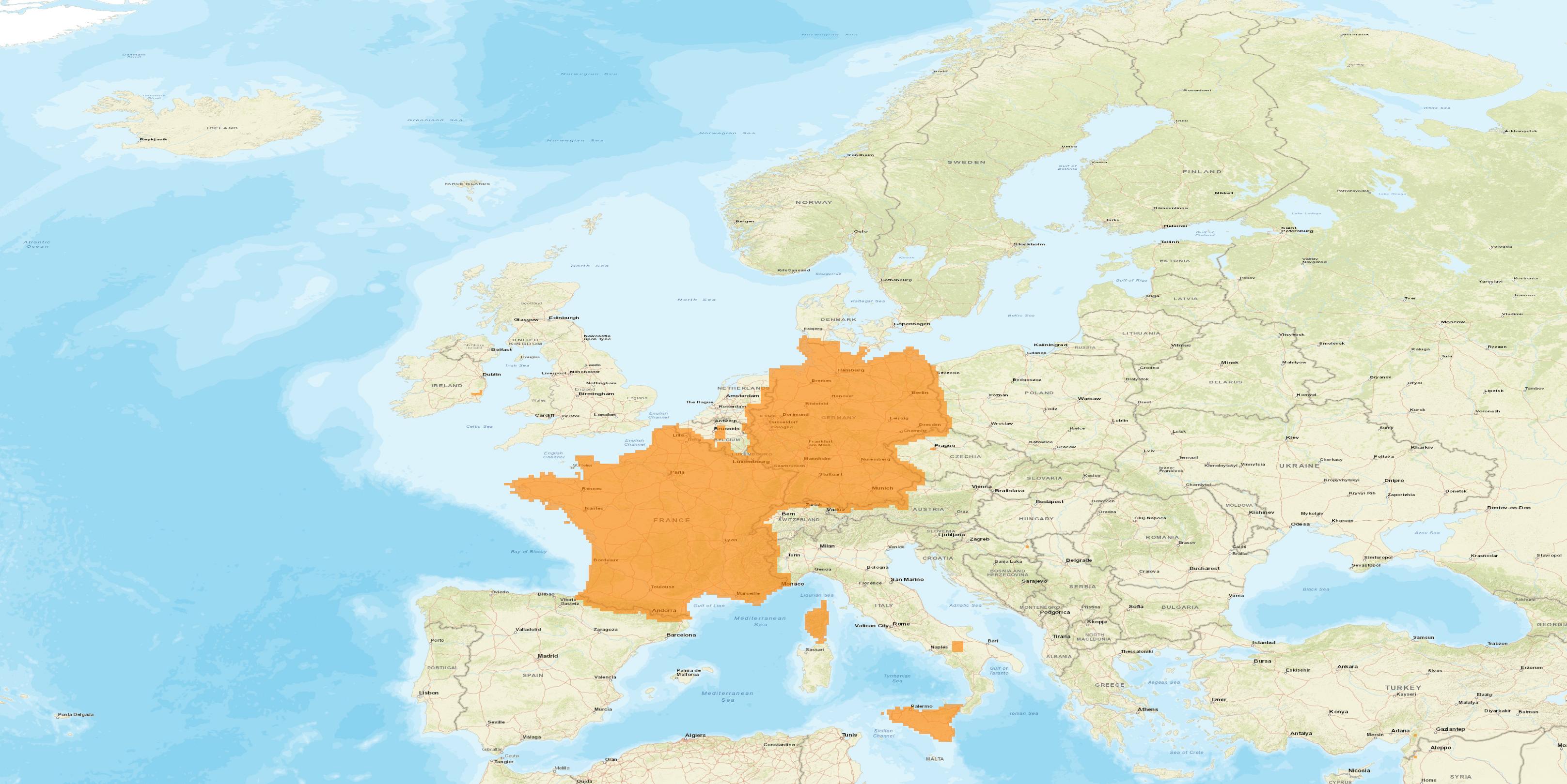
Europe 1 Meter
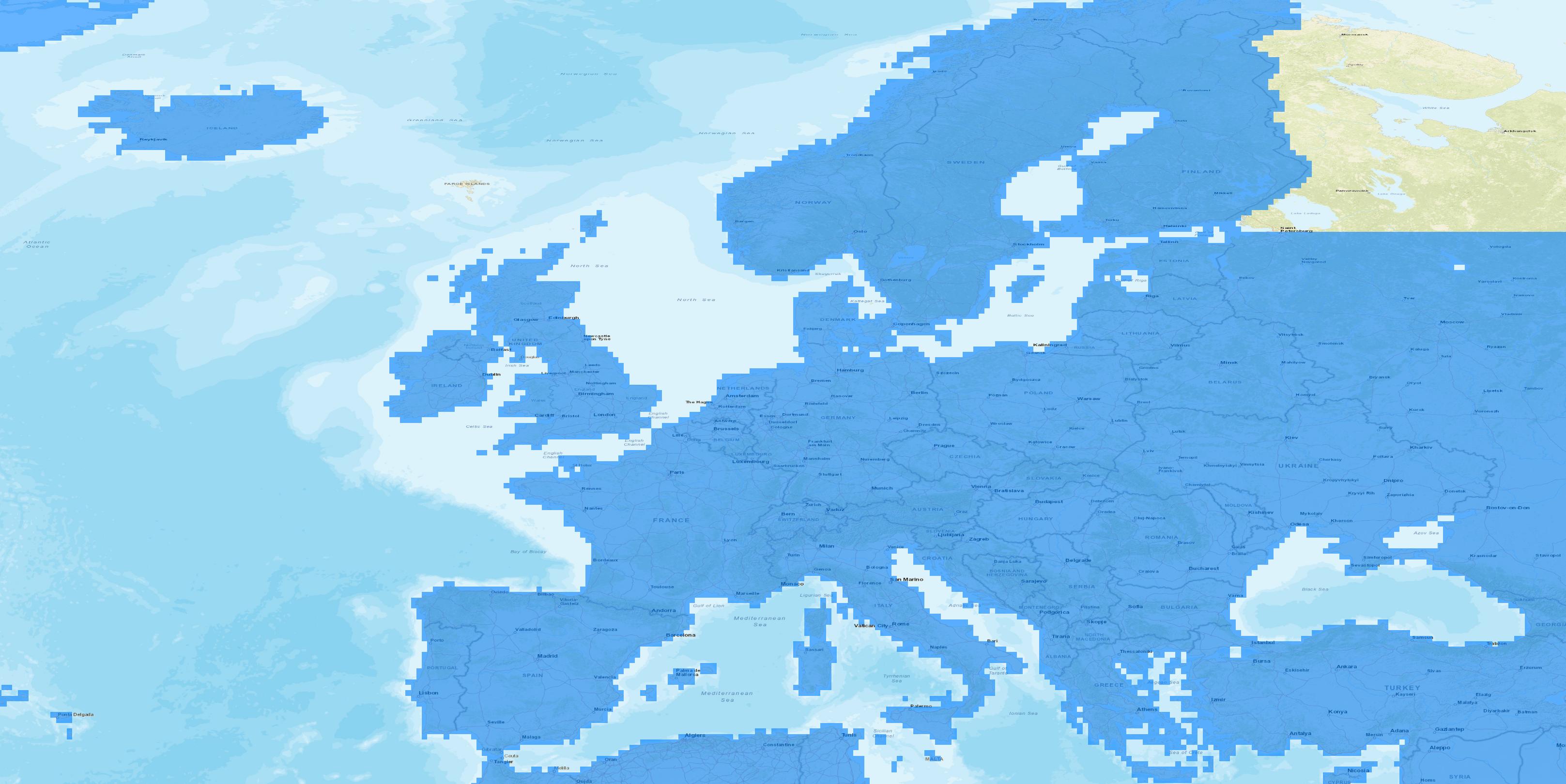
Europe 6 Meter
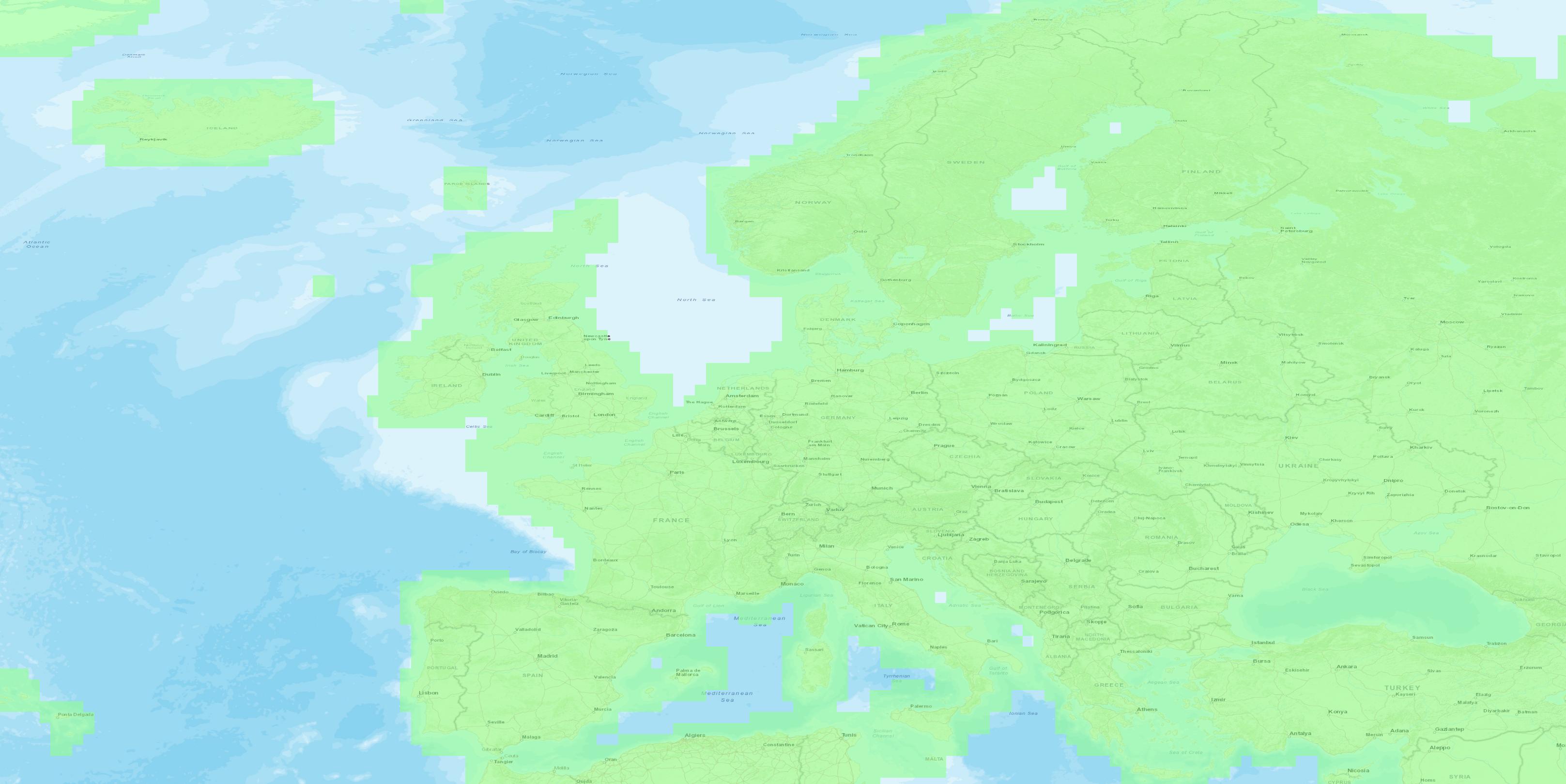
Europe 10 Meter

Africa 1 Meter / 6 Meter
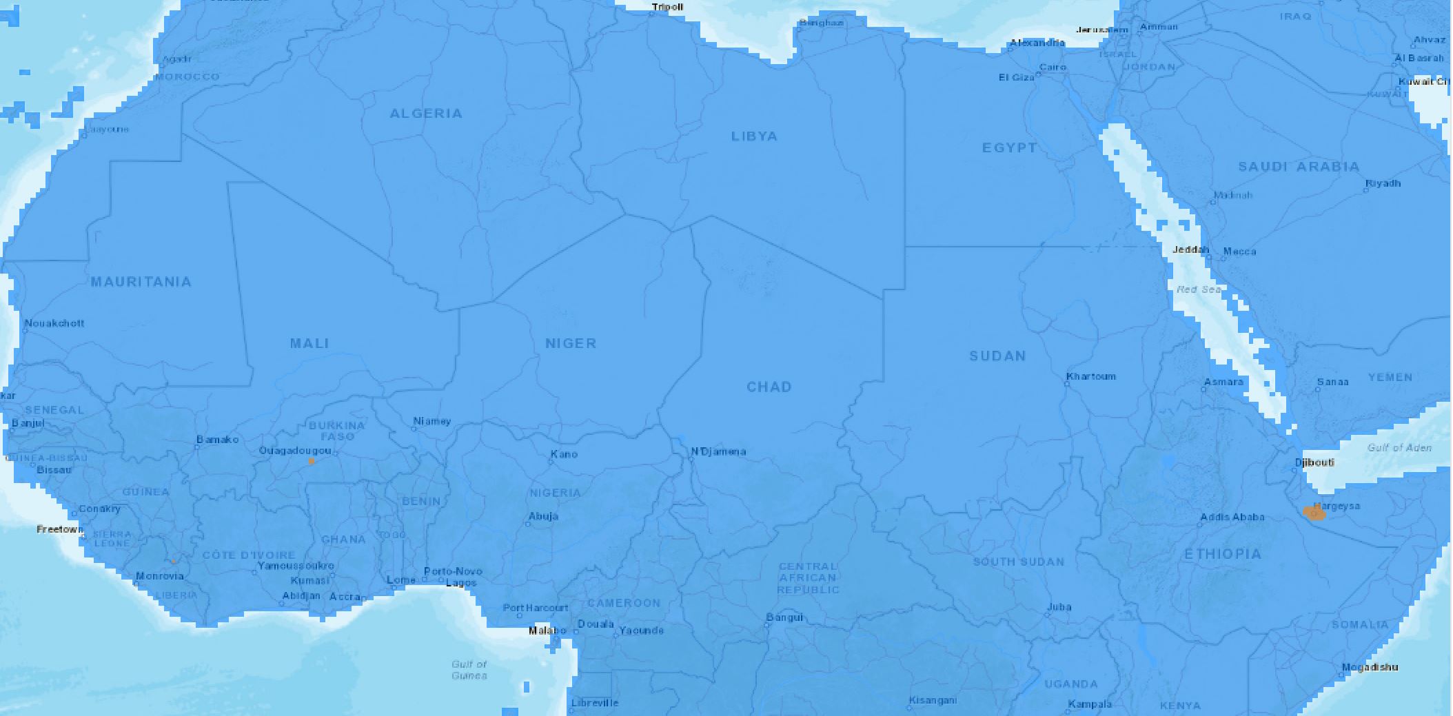
Africa Zoomed In
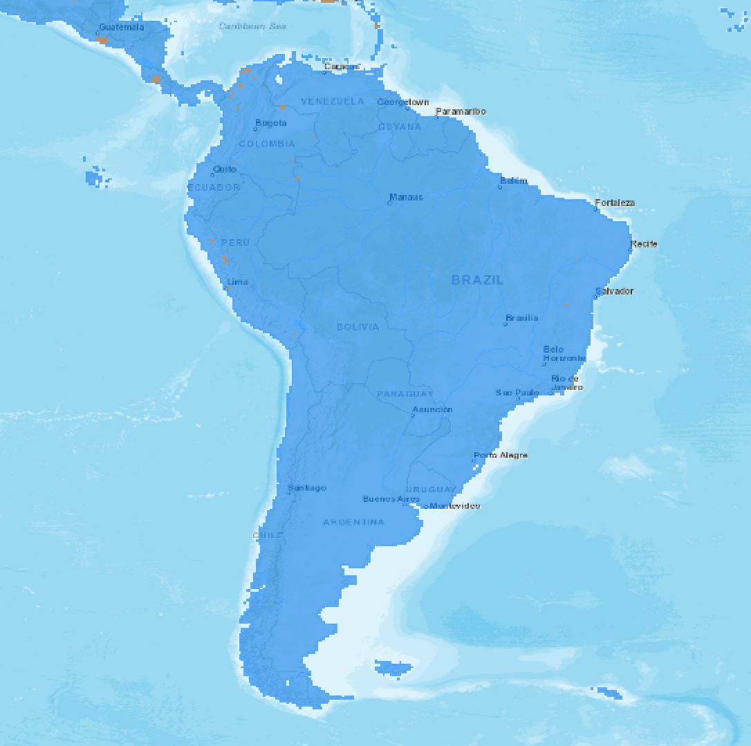
South America 1 Meter / 6 Meter
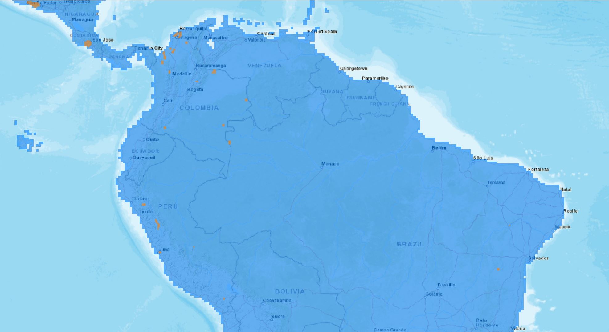
South America Zoomed In
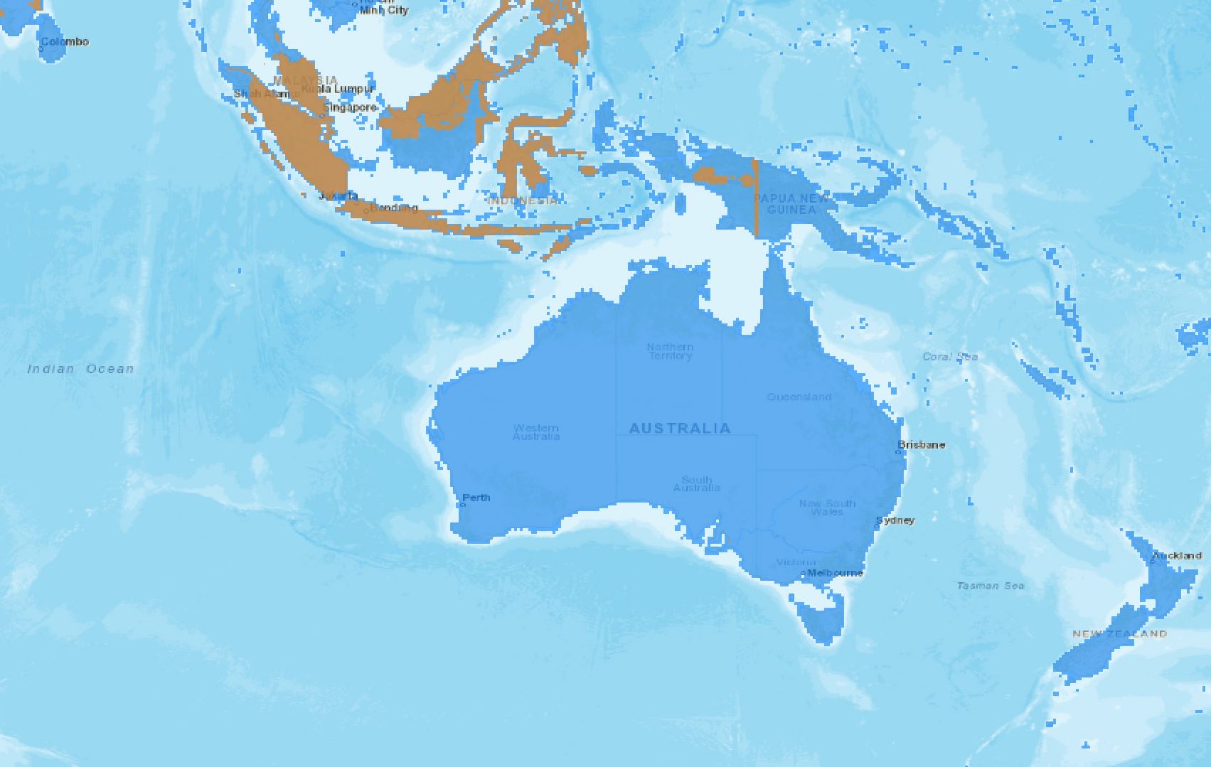
Australia 6 Meter
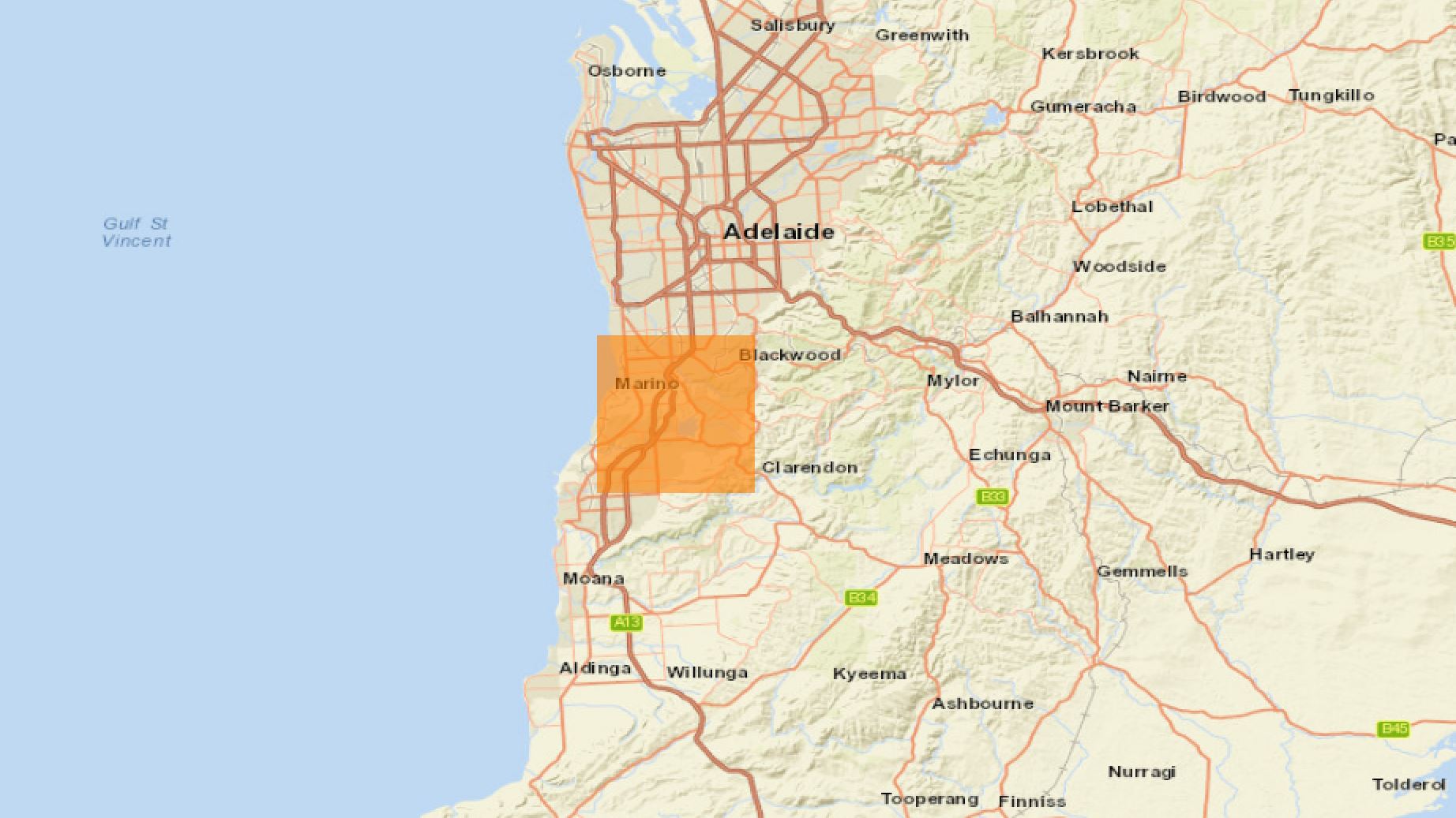
Adelaide Australia 1 Meter
As of 5/28/2020, TowerCoverage has updated the 1/3 ARC Data set with a new version of Lidar Data.
This is 1 meter Lidar Data converted to 10 Meter Data.
Notice: This data is only available in areas the USGS and the state of Kentucky made publicly available.
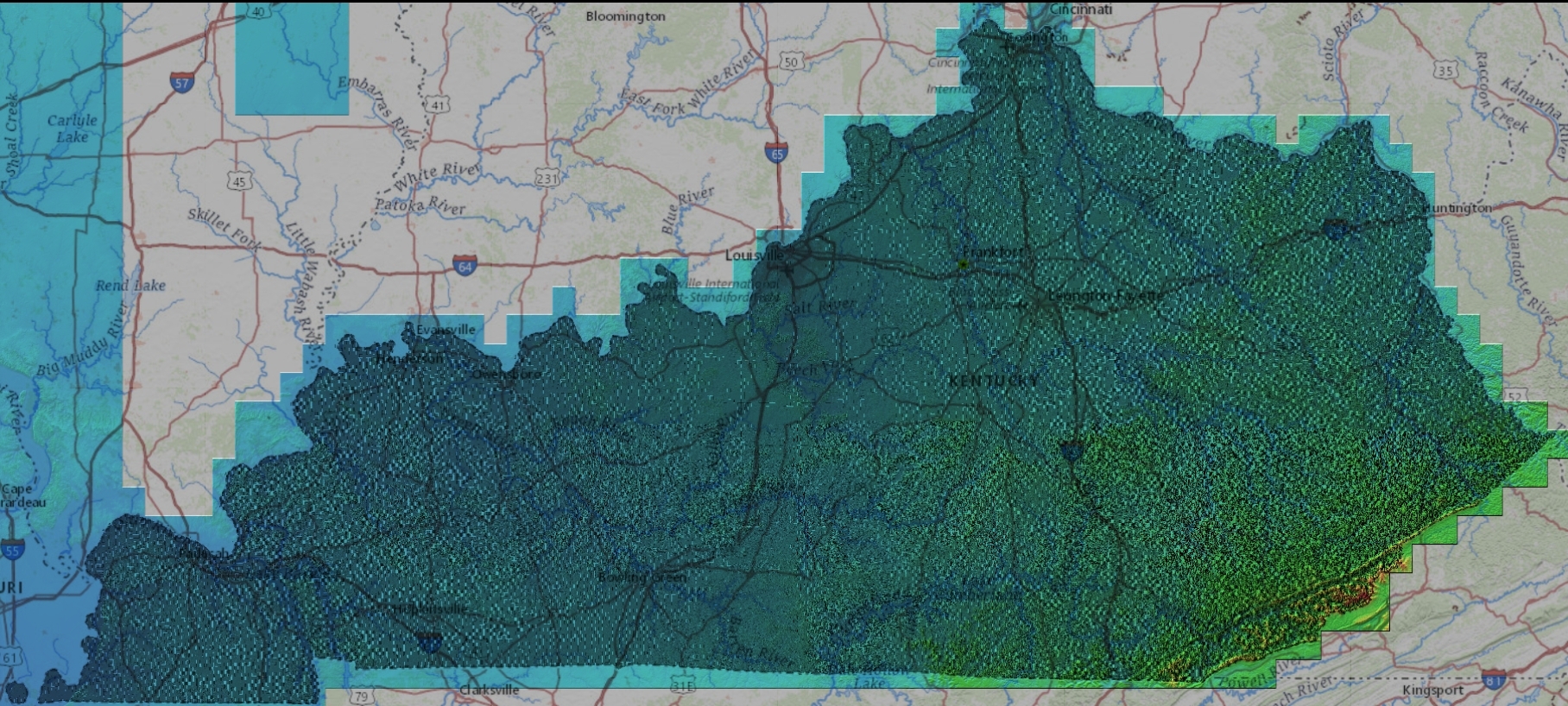
Kentucky Updated Lidar
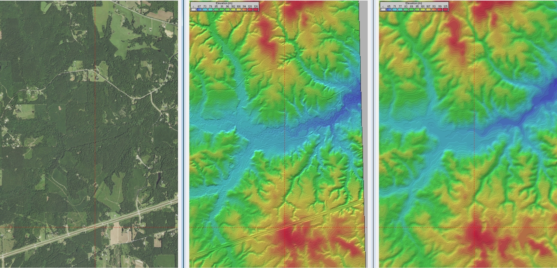
Old Data
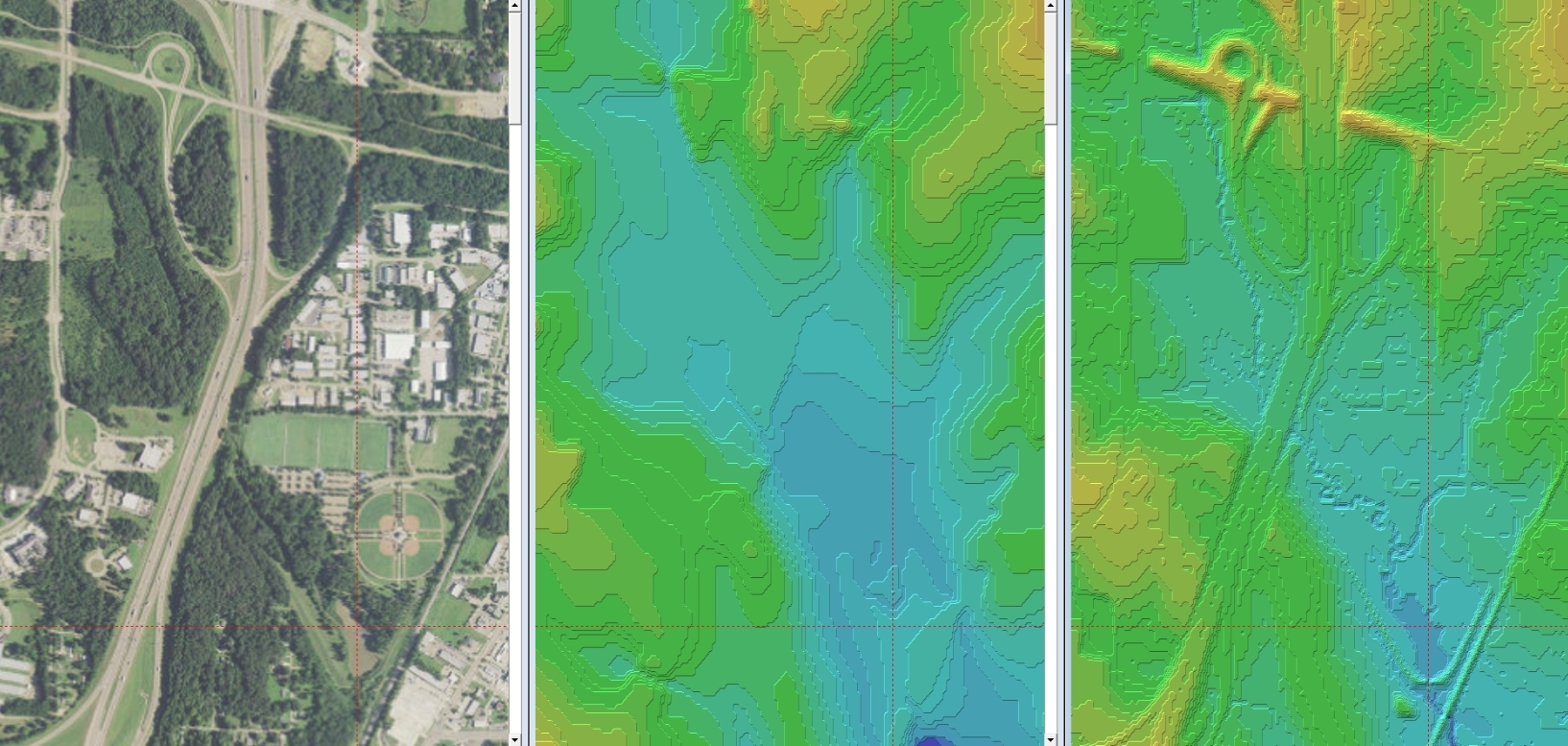
New Data
As of 2/24/2020, USGS Landcover for the lower 48 has been updated to 2016 data
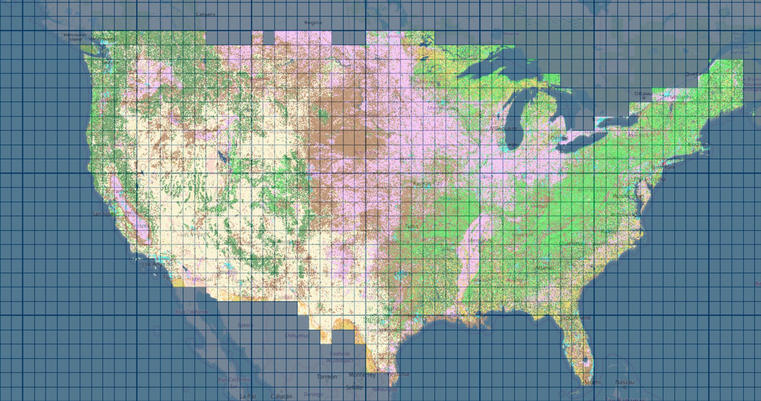
USGS Updated data
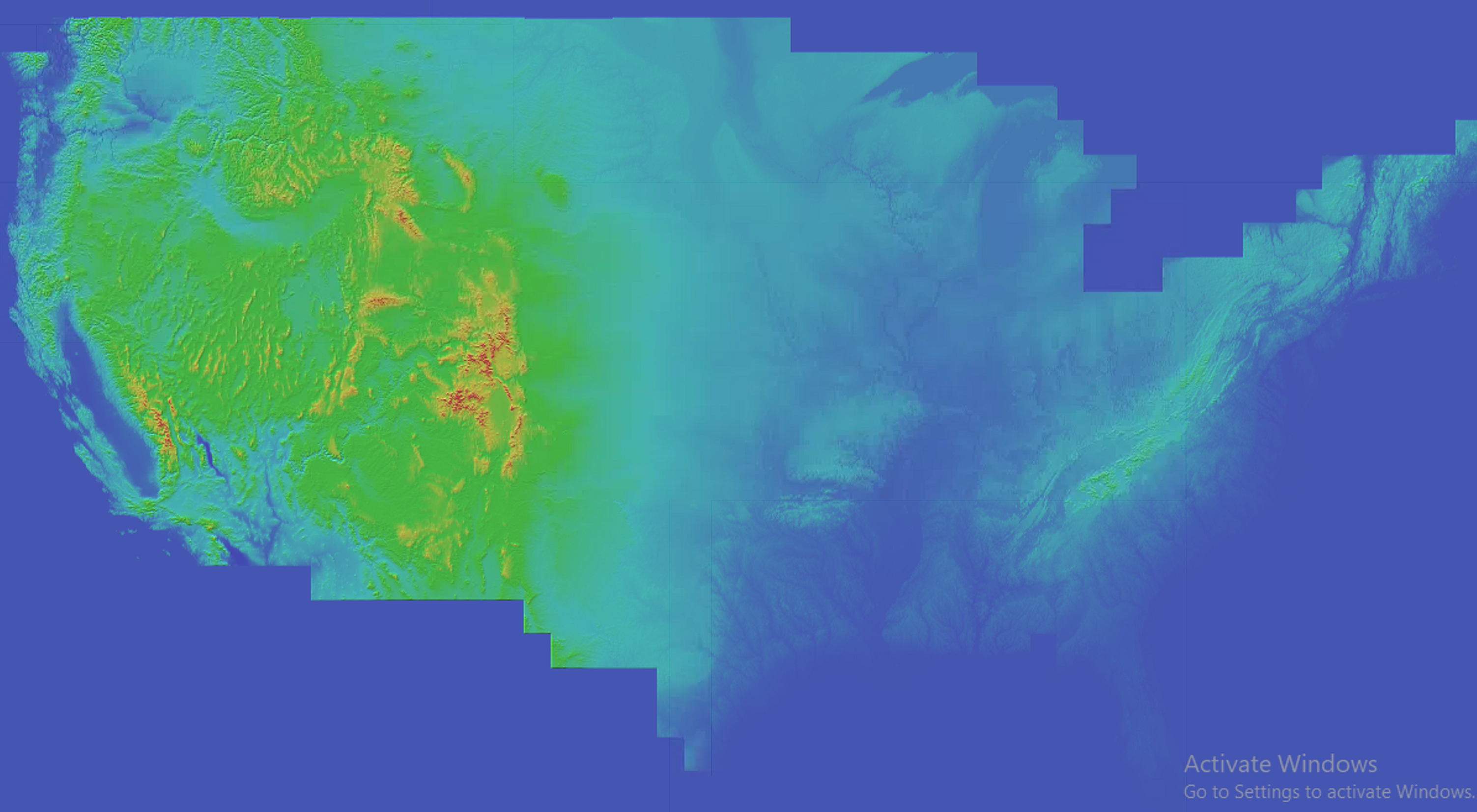
Elevation data sources
Resolution of Elevation Data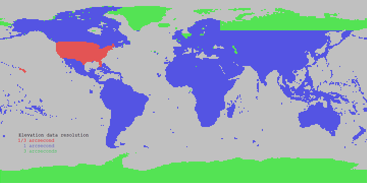
Source Shuttle Radar Topography Mission (SRTM) data products 1 arcsecond
Source for Alaska: USGS Alasaka NED 2 at Seamless data distribution system
Source for Northern Canada and void filling: Natural Resources Canada CDED at Geobase
Source for Northern Canada and void filling: Natural Resources Canada CANVEC at Geobase
Source for Northern Canada and void filling: ASTER
Source of SRTM Void filled for Eurasia: Viewfinder Panoramas
Land cover data sources
Landcover Resolution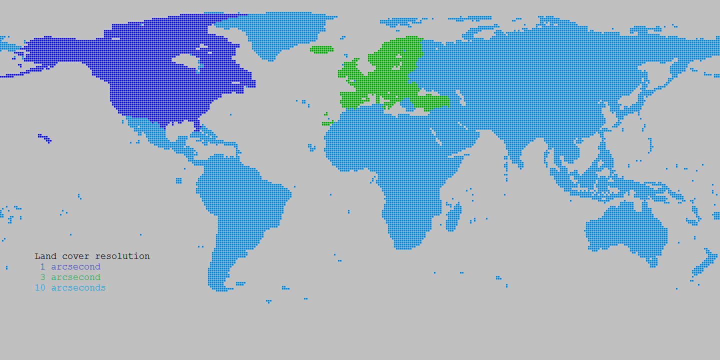
Source Canada: Natural Resources Canada Circa 2000 at Geobase
Source Europe: Corine landcover at European Environment Agency
Source World: Globcover at European Environment Agency