Create a Polygon
The Polygon Feature in TowerCoverage.com allows users to create custom polygons that can be assigned as either addition or subtraction polygons. Addition polygons when placed in a Multi Coverage will add to specified areas that are not covered by RF or Fiber/Cable areas. Subtraction polygons will subtract from specified areas, making them not covered regardless of RF or Fiber/Cable Coverages. This allows the user to ensure bulk areas are either covered or removed from EUS data or BDC files.
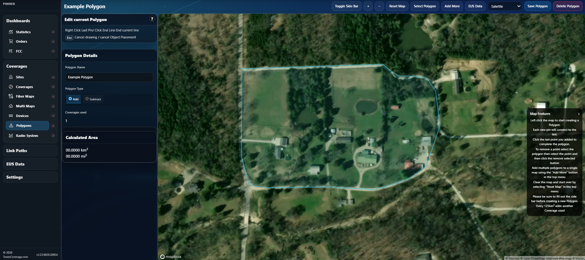
Coverage Name
This name should be unique so that after creating the polygon, it can be identified if it is returned in an end user submission.Addition or Subtraction
Defines the type of polygon you are creating.EUS Data
View EUS Data to ensure the borders of your polygon capture or exclude particular locations.Aspects of the Polygon Feature:
- Assign Polygons to your Multi Coverage in the same way you would add a Fiber/Cable Coverage.
- Each Polygon will consume 1 Coverage from the account per 125 kilometers squared with the minimum Coverages used being 1.
- All EUS entries submitted via the EUS iframe or EUS API will show all Addition and Subtraction Polygons in the EUS details in the account.
- EUS emails that are sent to the account will tell you if the location is within an Addition or Subtraction Polygon.
- When BDC data is ordered on a Multi Map, all Location ID's that are within included Addition Polygons will be added to the data regardless of whether they are covered by RF Coverages or Fiber Coverages.
- Any Subtraction Polygon will make all fabric locations (within that polygon) for BDC data be removed prior to downloading the data.
- An address List pulled from the BDC will also include locations inside Addition Polygons and all locations in included subtraction polygons will be removed.